Sunday, August 28, 2011

Miners Castle

Miners Castle is the only part of Pictured Rocks Lakeshore that you can get to by car. The sandstone formation stands above Lake Superior. There is a boardwalk nearly to the formation. The formations are fragile and prone to collapse so there is signage telling people to remain on the boardwalk.


The water in the bay is fairly shallow. I think the sign indicated it averaged 6 or 10 feet in depth. When the sun is out, the colors are very nice. Unfortunately, I was there when the sun was high in the sky and the sandstone colors were washed out.


Of course people must hop the boardwalks and walk out onto the formation. Waiting for the people to leave so I could take a picture was most annoying. In April of 2006 a portion of the Castle collapsed with most of it going into Lake Superior. The light colored stone in the center of the picture indicates where the area that fell.

Miners Falls

Miners Falls is east of Munising. If you head out for Miners Castle, there is a turn off that takes you to a small parking lot back in the woods. A short hike takes you the falls. There was much more water flowing here. The picture was taken from the end of the boardwalk and although it was possible to hop the fence and get down near the base of the falls, I chose not to.

Friday, August 19, 2011

Munising Falls

Munising Falls is just east of Munsing at the western end of Pictured Rocks National Lakeshore. The falls are pretty easy to get to via a short walk from the parking lot.

This is near the start of the trail. The trail splits into what one could call an upper and lower view. At one time it appears that the trail made a loop behind the falls, but the trail is blocked off and there are warnings that rocks have fallen from the top and continue to do so.


Munising Falls drops about 50 feet. There doesn't seem to be a large volume of water flowing. This is from the lower trail.


The upper view trail. The stone the falls cuts through is sandstone. The sand on the trail is from the stone on the right.


A view from the upper walkway.

Sunday, August 14, 2011

Grand Island East Channel Lighthouse

My original plan had been to head to Fayette State Park and do some photography there. I had hoped to camp at Tahquamenon Falls and Fayette, but couldn't find a site to set up my tent. That turned out to be a good thing since it started raining and my tent leaks. I spent most of the night sleeping in my car outside of Manistique. After checking the weather, I saw that it appeared the only part of the state where it wasn't raining was along the shore of Lake Superior so I headed up to Munising.

This is Grand Island, just north of Munising. The Grand Island East Channel Lighthouse was constructed in 1868 and deactivated in 1908. It has been restored, but maintains it's rustic look. The lighthouse and grounds are privately owned and not open to the public

Old Manistique Water Tower

This incredibly bad picture is of the old Manistique water tower. It had been raining most of the night, and was still raining when I drove past in the morning. I shot this from the driver side window of my car. I knew the contrast was going to be crappy, but I mostly took this for a friend who has a fascination with the Ypsilanti water tower.

Mackinaw Bridge

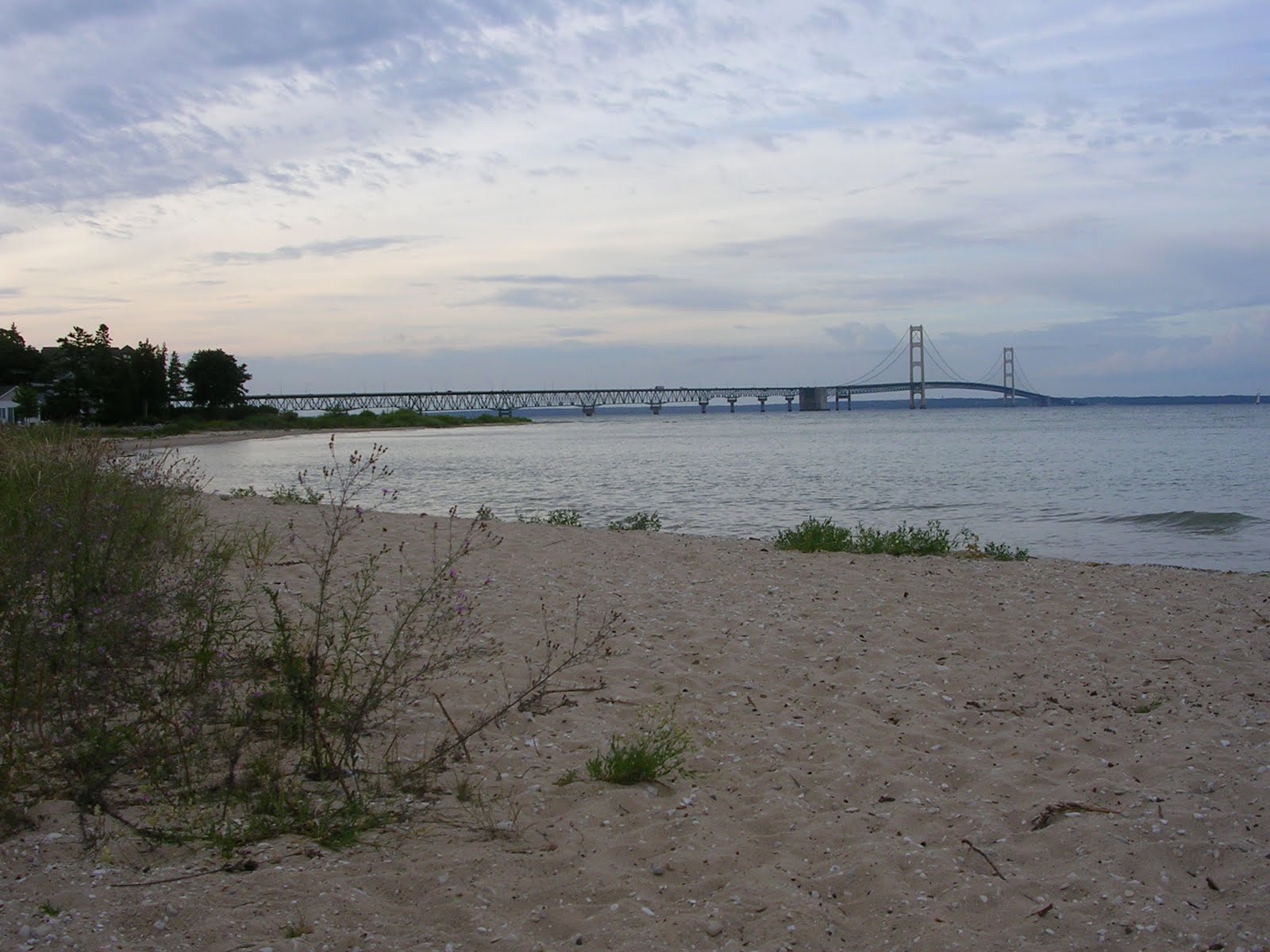
The Mackinac Bridge from Mackinac City. This is taken from a park east of the one that I usually shoot from.


A nice sailboat as it is about to pass in front of the Grand Hotel.


A ship of the Great Lakes Fleet passing beneath the bridge. Checking boatnerd, it is likely that this is the Arthur M. Anderson.


Passing under the bridge. I was waiting for the span to bisect the ship. Just as I started to press the shutter release, a gull that had been walking on the shore leapt into the air and ended up perfectly positioned for this shot.


Just a slightly different perspective of the bridge.

North Bay Park - July

I am still running behind on getting pictures up. I'm trying to be more regular with updates, but I haven't been too successful. These were taken a couple of days apart around the middle of July.


One of the bridges in the park that connects the islands.


The trail across one of the islands.


Purple Loosestrife. Purple Loosestrife is an invasive flowering plant. It often crowds out native plants like Cattails.


The boardwalk along the shore. This boardwalk is a bit over 1/4 mile long.


The swan that was just a puffball a few weeks ago.


One of the parents stretching.