Thursday, December 16, 2010

The Sixth Day - Grandfather Mountain

Grandfather Mountain is definately worth the time and money. The entrance fee was reasonable and I was there on what happened to be the nicest day of the entire trip.

What is that on the horizon? A condo or hotel project. I don't remember which. I read somewhere that after this was built it created such an uproar that a law was passed stating that no building could be higher than the skyline. I don't know if that is true or not, but after seeing this thing, I certainly wouldn't object to something like that.


Along the way there is a little pull off. I believe that this is called Split Rock.


The road to the top was closed as they were building a new gift shop at the top. I took the hiking trail to the top from the lower parking lot. Here the trail passes underneath the swinging bridge.


Saturday, December 4, 2010

Day Six - The Linn Cove Viaduct

The Linn Cove Viaduct was the last part of the Blue Ridge Parkway constructed. It was constructed around Grandfather Mountain so that it wouldn't damage the unique and fragile ecosystem found there.

This day was one of the more anticipated portions of my trip. I've seen pictures of it and it is really a thing of beauty. It is almost a work of art. I also planned on spending some time at Grandfather Mountain.


First view of the Viaduct.


Starting across.


Crossing the Viaduct.


On the south side of the viaduct, there is a gift shop/information station. It was closed when I got there. I took a short walk down the path that leads underneath the bridge and took a couple of pictures. It is an easy 5-10 minute walk. When I returned, the shop was just getting ready to open, but since I had a lot to do this day, I didn't wait around.


The Sixth Day - Calloway Peak Area

Calloway Peak is the highest point in the Blue Ridge. It is the high point of Grandfather Mountain which is an International Biosphere Reserve. The mountain was privately owned until 2008 at which time it was sold to the state. It was, and continues to be run as a tourist attraction. There are many plants found on the mountain that are normally found much further north.


Another hazy morning. Unfortnately, nearly every day was hazy.

Friday, November 26, 2010

The Fifth Day - Price Lake

Originally I had planned on staying at the campsites that were part of the Parkway system. This was the first time where I came to a camping area around the time I wanted to stop for the day.

The campground at Price Lake was large and was split into 3 different sections, or loops, if I recall. Two of the loops were set on the far side of the Parkway from the lake. Driving through, I could have had my choice of campsites and could have been there all by myself. Or I could choose one of the few remaining sites by the lake. Although I really wanted the solitude, I opted for the lake view. A couple of minutes after I registered, the last waterfront site, the one next to mine, was filled.


Price Lake as it appeared when I arrived. Rainfall seemed likely.


After setting up camp, I decided to take a walk around the lake. This is roughly where the first picture was taken as I walked along the path.


Getting ready to head away from the road.


A small beaver dam along the trail.


The sun finally makes an appearance.


Looking over Price Lake towards camp.


Camp Sweet Camp.

The Fifth Day - Moses H. Cone Memorial Park

Moses H. Cone Memorial Park is the estate of Moses Cone. On his 3600 acres he had 75 varieties of apples in his orchards and constructed 25 miles of roadways. The park looked very nice. It was getting late and I still didn't know where I was going to spend the night and it looked like the weather was ready to turn rainy again so I didn't do much more than take a cursory look.

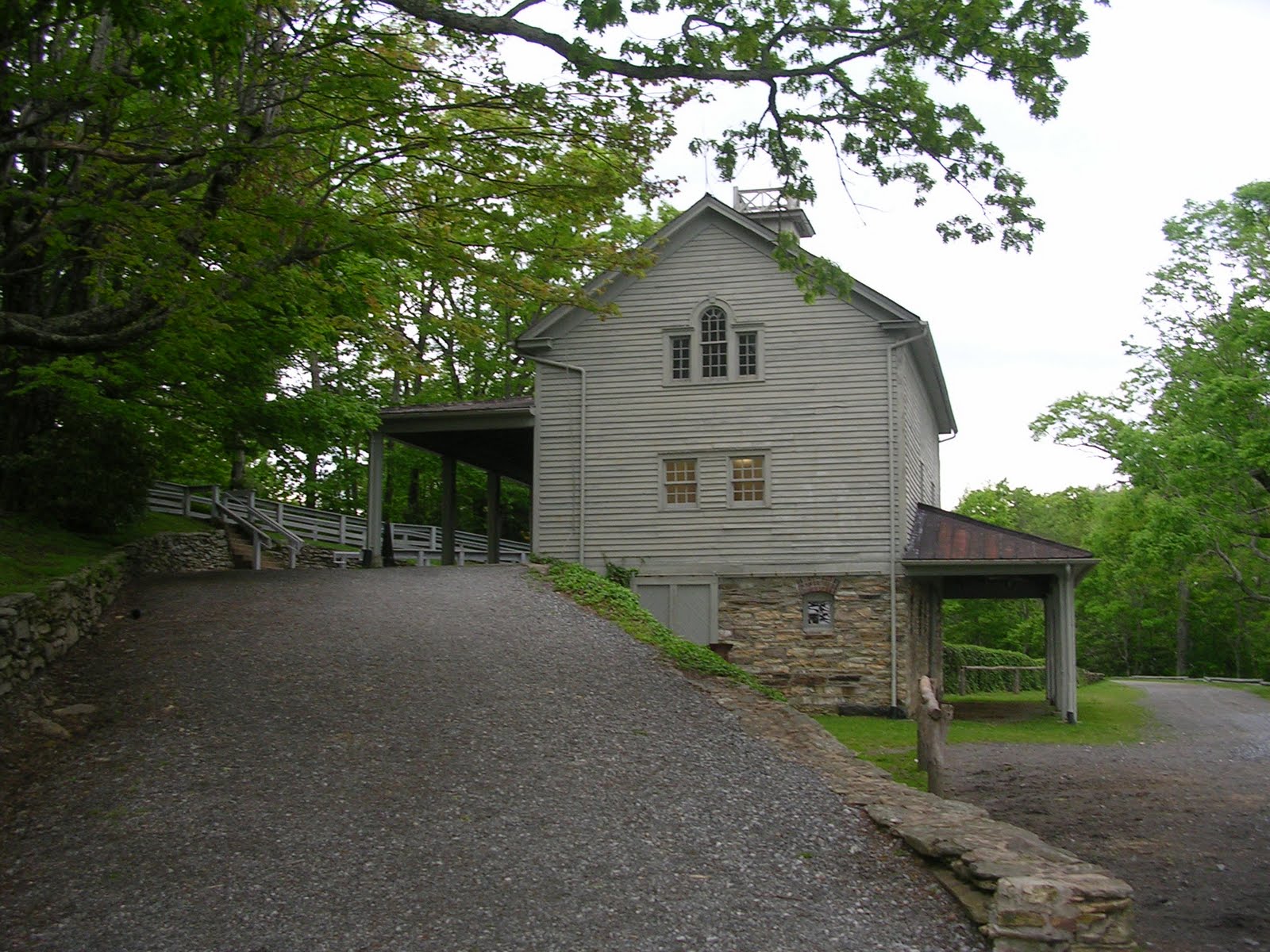
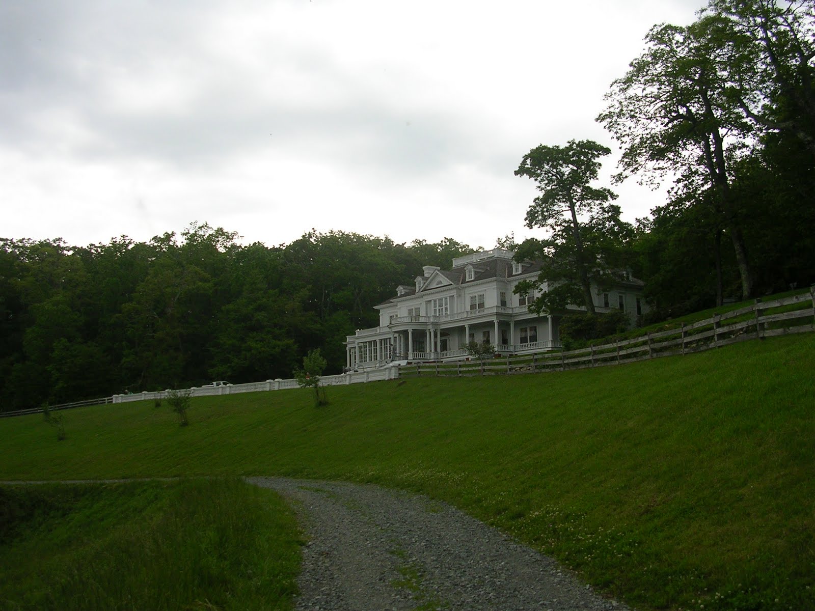
The old house is now a craft shop. The upstairs was off limits. While I was there, the front steps were being painted. The house is 13,000 square feet and is called Flat Top Manor. The carriage house has some carriage equipment and a cider press, I think.

Unfortunately, the few pics I took looking from the front of the home are of pretty poor quality so I have nothing to show you of the view from the home.

Approaching the side of the house.


The Carriage House.


Flat Top Manor

The roadway in front of the home.

Thursday, November 25, 2010

The Fifth Day - Mount Jefferson

Mount Jefferson stands over the town of Jefferson. Runaway slaves are reported to have hidden out on the mountain on their trek north. The mountain is now a State Park.

Signs like this are at many of the stops letting you know elevations of where you are and what you're looking at.


Mount Jefferson.

Wednesday, November 24, 2010

The Fifth Day

I pulled in at this roadside stop and climbed the hill. There was an airplane flying very low when I pulled in, but by the time I'd gotten to the top, it had moved off.


Looking back down the hill towards the parking lot.


Looking back the way I came. The Parkway is visible on the hillside.


What you can't tell is how strong the wind was here. The photos don't capture it well, but the tall grass was waving in the wind.