


 The informational sign for Buffalo Mountain.
 Buffalo Mountain.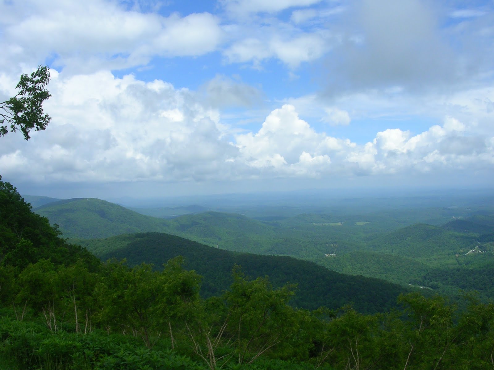
 Clearing skies.
 The mill pond.
 The old stone spillway.
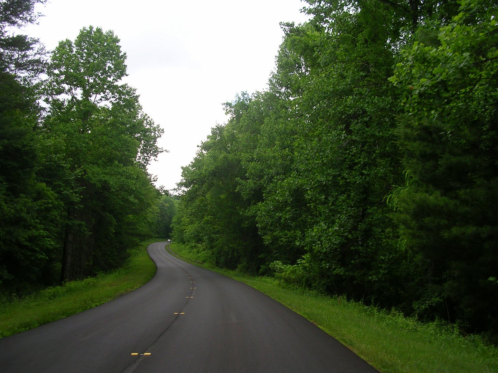 The newly resurfaced Parkway
 Along the Blue Ridge.
 Lowering skies.
  Starting to clear.
 Well, maybe not.
 From a turnout along the parkway. As you can see, cloudy skies are still present.
 Shortly after passing Roanoke, there was a turnoff for a trail up the side of the mountain. It was very steep, but at the top, there were some rewarding views. The road is fairly narrow and one way. This is Roanoke. The large clearing in the center is the airport.
 Looking west.
 Looking to the east of Roanoke from the top of the mountain.
 The informational sign for the Peaks of Otter. Sadly, you can't really read it.
 A mining operation along the Parkway.


One of the many bridges along the Parkway.

